Aerial Mapping & 3D Modeling
Aerial Mapping & 3D Modeling Services
DronEye Imaging uses drone technology for aerial Imagery and 3D modeling services throughout Indiana.
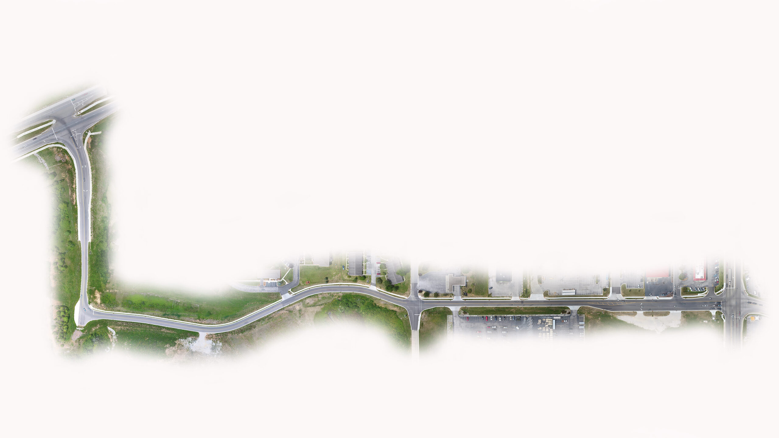
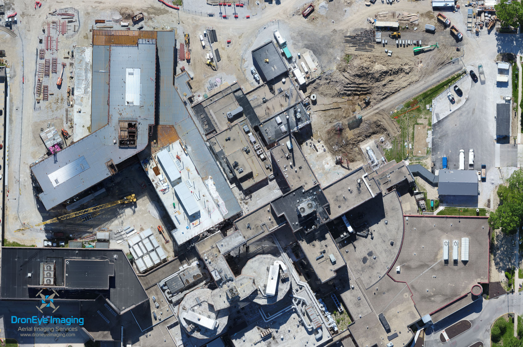
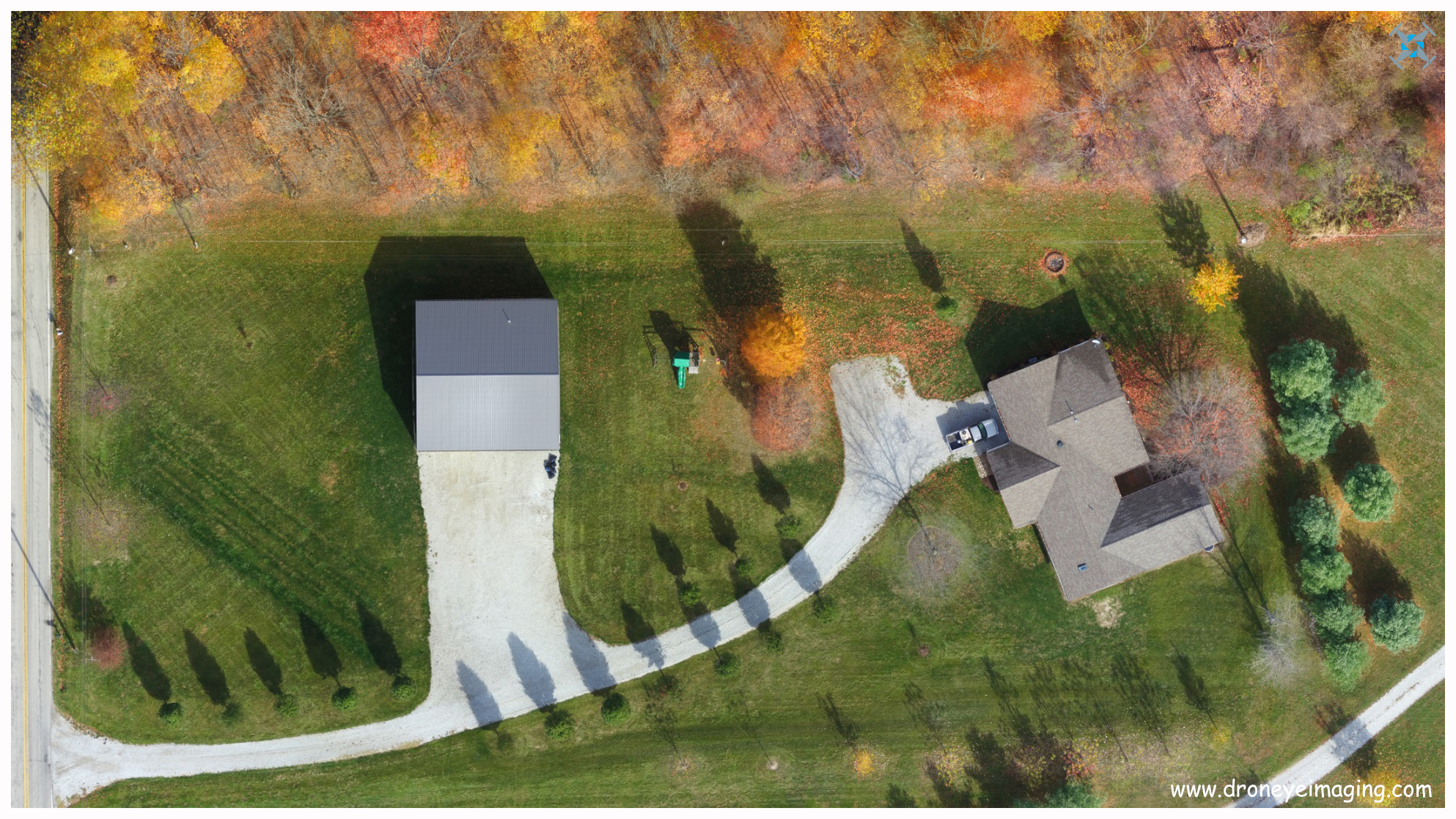
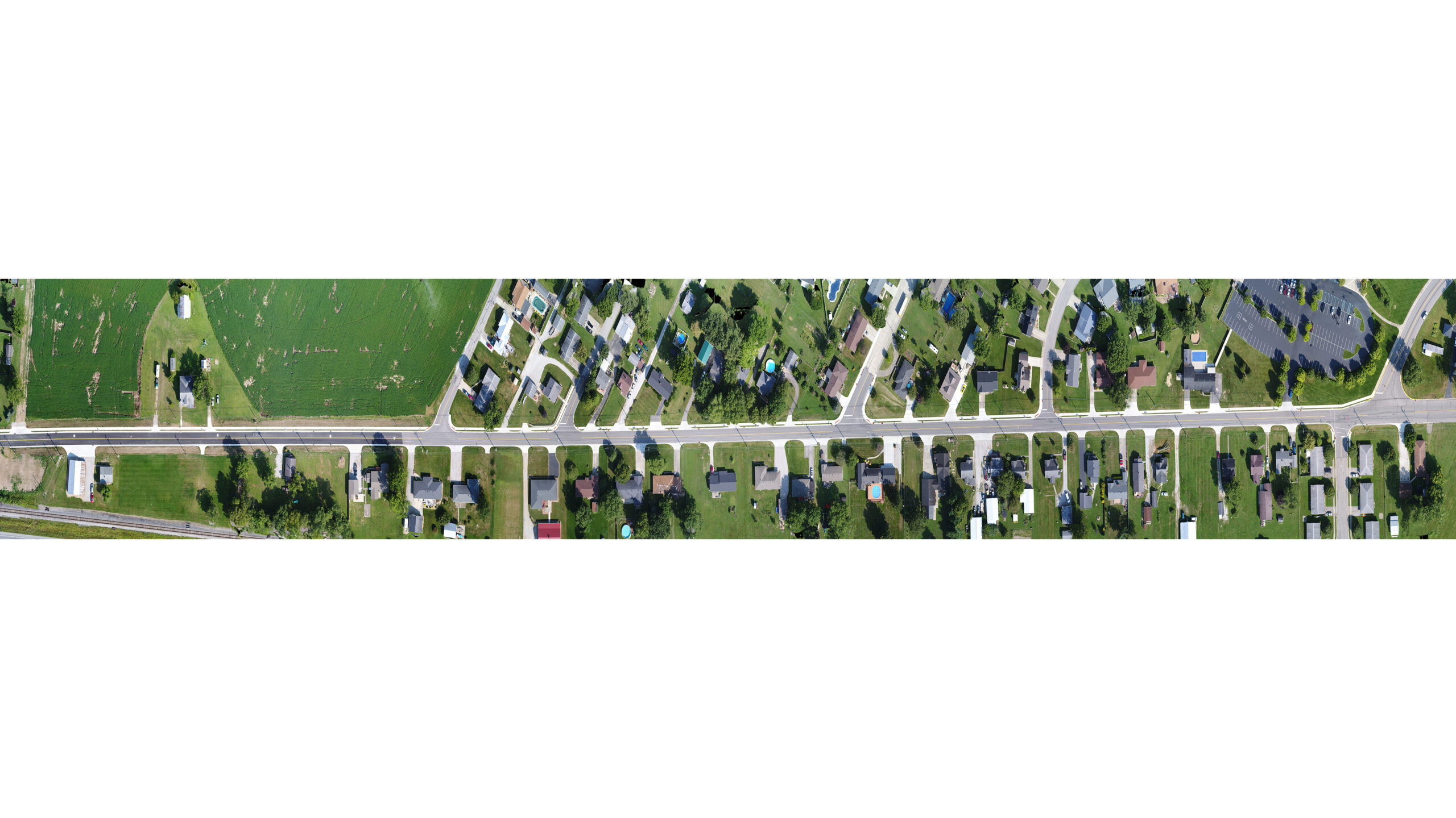
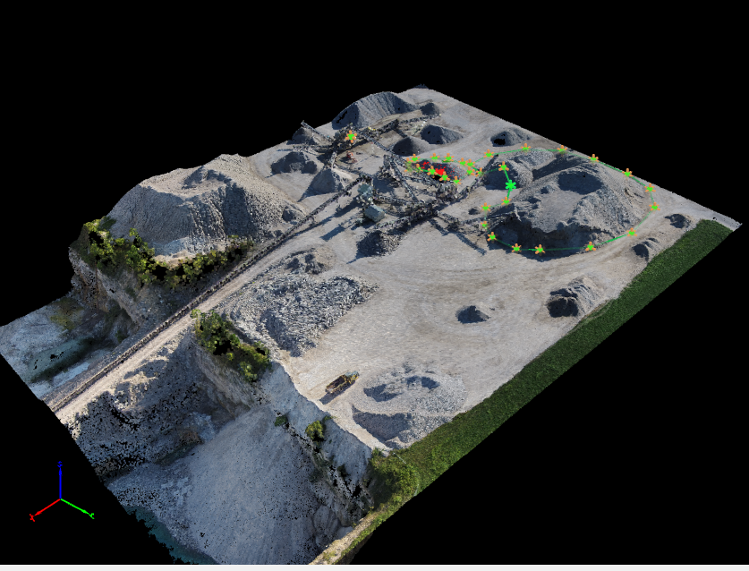
Aerial Imagery services can provide 2D and 3D imagery as well as a photomosaic, or multiple images merged together to deliver one aerial image. The method of image collection for a photomosaic can target a specific area of interest or a desired property. These specific areas can capture imagery at low altitudes with drone technology to produce a high quality and up-to-date aerial images. Drone technology methods are safe and cost effective operations for all appplications. 3D modeling deliverables are one of many applications that can benefit from an aerial Image collection. Aerial image collection sets for 3D modeling can be exported and delivered tailored to your needs. Most recent client-tailored file types have included modified exports for implementation and integration into a BIM software solution.
Contact us to determine if we can provide a solution for you or your team by incorporating drone technology.
Current drone applications and capabilities for aerial imagery and 3D modeling have included the following: aerial façade inspections, forensic engineering, structure inspection, roof inspection, insurance documentation and evaluation, residential construction, commercial construction, land development photography, industrial and manufacturing imagery for site logistics planning, commercial real estate, and residential real estate
Below are recent links, videos, and images for examples. Do you have questions? Contact us! We would love to assist in creating an aerial solution for you!
Request a Quote
DronEye Imaging is based in Indiana and is fully licensed and insured.
3D Model Renderings
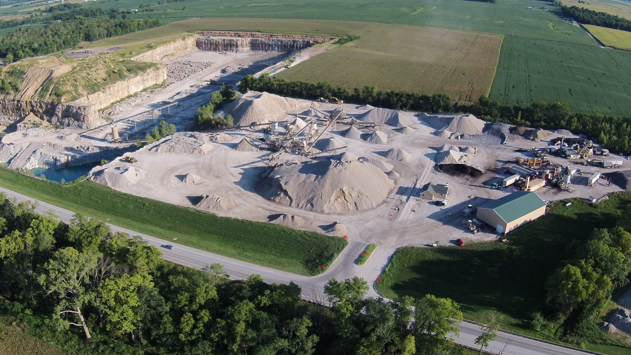
Photomosaics